
Multi-domain intelligence. Global scale.
A unified view of movement, infrastructure, environment, visual sources and events. Follow signals from the map into connected investigations.
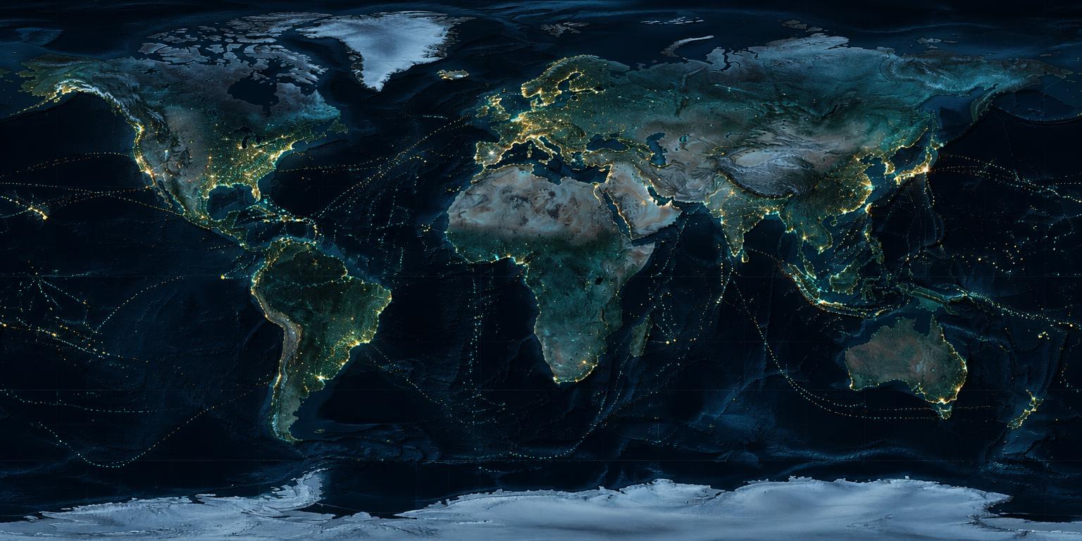
See the layers.
Follow the signal.
Select intelligence categories to explore how a global view narrows into context.
VISUAL INTELLIGENCEA wider view of the physical world.
The map groups related signals; the product family gives each domain its own investigative depth. Examples below describe potential source categories, not live feeds in this demonstration.
Aircraft identifiers, flight paths, airports, restricted airspace and military infrastructure.
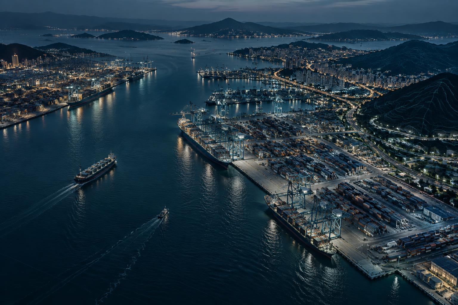
Vessel positions and ports alongside traffic, corridors and ground mobility.
Orbital context and attributed, available visual sources.
Seismic and fire events alongside weather, air quality and marine conditions.
Strategic facilities, public broadcasts and attributed open-source reporting.
From identity
to network.
Resolve entities, uncover relationships and reveal connected activity.
ILLUSTRATIVE EXAMPLE- ID
- 02918
- TYPE
- Individual (Simulated)
- ASSOCIATIONS
- 17
- CONFIDENCE
- 94.8%
- RELATIONSHIP
- Known association
- SOURCE
- Identity record
- LOCATION
- London, GB
- FIRST OBSERVED
- 09:41 UTC
- LAST OBSERVED
- 10:22 UTC
Reconstruct
what happened.
Align multiple sources across time, location and context. Example sequence only.
 CASE / 0926-041
Ask the environment.
Show all known activity associated with Entity X within 5 km during the previous 72 hours._
Find the signal.
Discover how IN7EL can support complex investigations and intelligence operations.